
A history of the Imperial Sand Dunes
A dead lake,
and what people made of it.
The sand at Glamis is older than anything that has ever driven across it. What follows is how it got here, where the name came from, the road built out of wood, the racing that started with two machines and an argument, and the closure that took fourteen years to undo.
Before anybody
The dunes are what
a lake left behind.
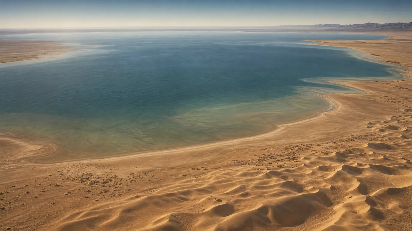
Southeastern California holds the largest mass of sand dunes in the state. The system runs more than 40 miles in a band averaging about five miles wide, and the biggest dunes stand around 300 feet above the desert floor. None of that sand was made here.
It came from ancient Lake Cahuilla, a body of water that repeatedly filled the Salton Trough and then dried out again. The lake itself was fed by the Colorado River whenever the river swung away from the Gulf of California and emptied inland instead. Each time the water went, it left sandy shoreline sediment behind, and the northwest wind pushed that sediment southeast into dunes.
The cycle repeated over roughly the last two thousand years, with the final drying happening after about 1500. So the ground people ride on is river sediment, sorted by a lake, moved by wind, and it is still moving. The dunes migrate. That is not a metaphor about change, it is the reason a road across them turned out to be such a problem.
1886
Named for a castle
nobody here had seen.
Glamis is not a town in any ordinary sense. It began as a siding on the Southern Pacific line that ran along the eastern edge of the dunes, one of a series of stops placed where the railway crosses what is now State Route 78.
The name was borrowed from Glamis Castle in Scotland, the one Shakespeare attached to Macbeth. Railroad naming in that era reached for whatever sounded good, and a Scottish castle got stapled onto a rail siding in the Colorado Desert. It stuck. More than a century later it is the name of one of the busiest off-highway recreation areas in the United States, and the castle it was named after still outranks it in most search results.
1915 to 1926
They built a road
out of wood.
Before the dunes were somewhere to play, they were something in the way. Crossing them cost days and swallowed wagons, and the gap they created was the missing link in a commercial route between San Diego and Yuma.
The answer was the Plank Road. The first planks went down on February 14, 1915, and about two months later there were six and a half miles of it: two parallel wooden tracks spiked to crosspieces underneath, wide enough for one vehicle. Because the dunes move, the road was built in movable twelve foot sections. When sand buried a stretch or cut away beneath it, teams of horses dragged the sections back into place.
It carried traffic from about 1916 to 1926, then a paved highway made it obsolete. A surviving segment was preserved through a joint effort by the Imperial Valley Pioneer Society, the California Off Road Vehicle Association and the Bureau of Land Management, which manages the site today as an Area of Critical Environmental Concern.
Worth noting what that means about who saved it: an off-road vehicle association helped preserve the oldest historic structure in the dunes. Visiting it needs no permit, the same as Osborne Overlook and the Buttercup Ranger Station. See permits and fees.
1942 to 1944
The army got here
before the buggies.
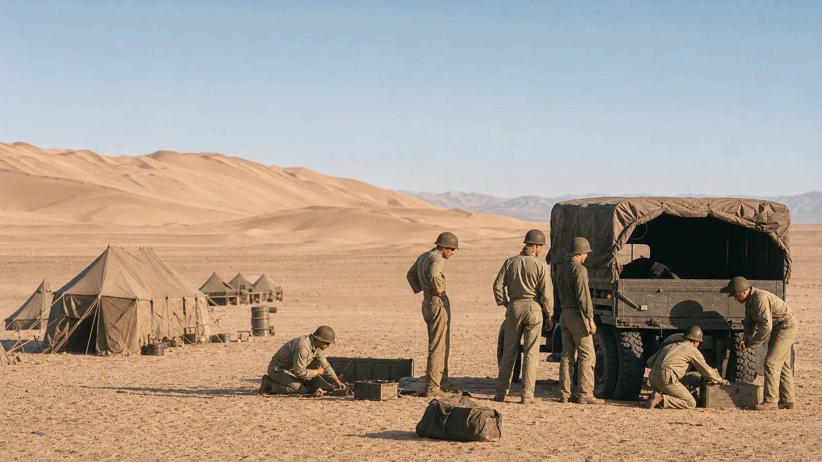
In 1942 the US Army established the Desert Training Center under George S. Patton, to prepare troops for North Africa. Later renamed the California-Arizona Maneuver Area, it covered roughly 18,000 square miles and remains the largest military training ground the country has ever had. More than a million soldiers passed through it. The Algodones Dunes fell inside it, chosen because this desert resembled the ground they would be fighting on. One section of the dune system is still called Patton's Valley.
Training on that scale left things behind. Riders periodically come across military remains out in the sand, including a target-like structure a long way from any road that people here call the Xylophones. Shifting dunes uncover things and bury them again, which is why the same object can be famous and hard to find in the same decade.
Treat anything military you find as dangerous and leave it alone. The training center included live-fire and bombing ranges, unexploded ordnance survives in desert soil for a very long time, and it does not become safe by being old or by having people standing next to it in photographs. Do not move it, strike it or take it. Note where it is and report it to the BLM El Centro Field Office on (760) 337-4400.
1966
Officially, a
natural landmark.
In 1966 the National Park Service designated the dunes a National Natural Landmark, under the name Imperial Sand Hills. It carries no riding restriction of its own, and most people who ride here have never heard of it, but it is the formal recognition that this is a significant natural feature and not simply a large sandpit. That framing matters later, because every argument about access since has been an argument about what this place is for.
Late 1950s onward
Two machines,
and an argument to settle.
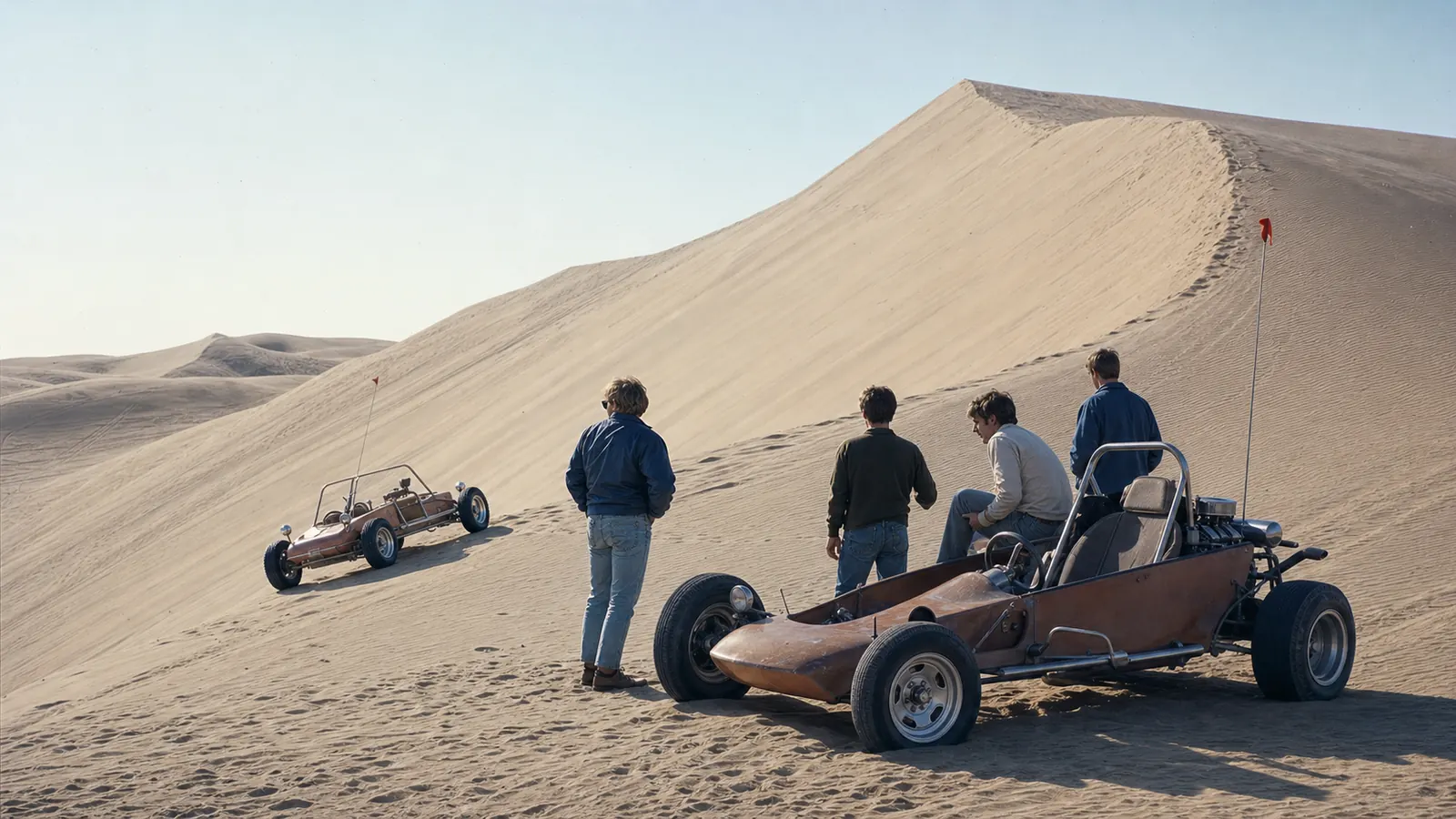
Sand drag racing did not start as a sport with a governing body. It started with people who had built something in a garage lining up on a flat stretch of sand to find out whose was quicker over a few hundred feet. No timing lights, no trophies. The whole prize was being right.
The most consequential name to come out of that is Larry Minor, who began racing in the sand at Glamis in the late 1950s with a Jeep CJ-6. By the mid 1960s he was running a nitro-fuelled Jeep known as Flower Power and dominating the unlimited class, and he went on from the dunes to NHRA Top Fuel, where he became a significant figure as both driver and team owner. He is in the Off-Road Motorsports Hall of Fame. A machine built for loose sand in the Imperial Valley ended up shaping careers in professional drag racing.
That pattern is the actual heritage here. Sand punishes power differently from asphalt, because everything depends on traction that changes hour by hour with moisture and temperature. Solving that problem produced paddle tire designs, chassis ideas and suspension thinking that left the dunes and went into the wider off-road industry. Glamis has functioned as a proving ground for far longer than most of the people using it have been alive.
1982
Tatooine was
south of Interstate 8.
In April 1982 a film crew shot the Sarlacc pit sequence for Return of the Jedi at Buttercup Valley, in the southern end of these dunes west of Yuma. The full-size sail barge was not a model. It was a structure built on flat ground surrounded by dunes, reported at around 80 feet high and 212 feet long, and it took roughly five months to put up before anyone filmed a frame.
The crew worked in heat reaching 120F, which anyone who has been here in summer will read as an entirely believable number rather than a movie anecdote. Nothing of the set remains. It was dismantled, and the sand has had four decades to finish the job.
It is a good illustration of what this landscape is: somewhere that reads as another planet on camera and kills people who treat it casually in person. The same Buttercup now has the ranger station where you buy a permit. See it on the map.
1994
A third of the system
stops being open.
The California Desert Protection Act of 1994 designated the North Algodones Dunes Wilderness, north of Highway 78. BLM describes it as more than 26,000 acres. Wilderness designation prohibits vehicles and mechanized use entirely, and no permit provides an exception.
This is the single most important boundary at Glamis and it is permanent. It is also the moment the dunes stopped being one continuous open place and became a managed one, with lines on a map that matter. Everything that followed is an argument about where those lines belong. Route planning has to account for it: see maps and access.
2000 to 2014
Fourteen years
of closed ground.
In March 2000 the Center for Biological Diversity, the Sierra Club and Public Employees for Environmental Responsibility sued BLM over Peirson's milk-vetch, a plant native to these dunes and listed as threatened. The claim was procedural rather than about riding itself: that BLM had not completed the consultation with the US Fish and Wildlife Service that the Endangered Species Act requires.
The settlement closed 49,300 acres to vehicles, pending a new management plan. That is not a corner of the recreation area. It was a substantial share of the riding, gone, with reopening tied to a planning process nobody could put a date on.
The plan took roughly fourteen years, repeatedly challenged along the way. In 2014 the 49,300 acres reopened. But BLM, building something meant to survive the next lawsuit, permanently closed about 9,000 acres of designated critical habitat that had been open before any of it started. The dunes came back smaller than they went in.
The American Sand Association, which organised much of the rider-side response, remains the most visible advocacy group in this community, and the largest Glamis groups online still fly its banner. That is not incidental. A generation of people here learned that access is something that can be taken away by a process they were not part of.
2001 to 2002
The night the dunes
stopped policing themselves.
By the late 1990s Competition Hill had become the centre of something that had very little to do with riding. On the big holiday weekends the bowl below it filled after dark with thousands of people, and the scene that developed there was a party rather than a dune session.
It came apart over Thanksgiving 2001. A man was killed in a shooting, a ranger was run over, and officers wrote more than a thousand citations across the weekend. On November 19, 2002 the Imperial County Board of Supervisors passed an ordinance closing Competition Hill from half an hour before sunset until half an hour after sunrise on holiday weekends, a misdemeanour to violate. BLM supported it. The county holds primary law enforcement jurisdiction here, which is why a county board rather than a federal agency made the call.
The part worth understanding is who backed it. Plenty of long-time riders wanted the closure, and some access organisations that instinctively oppose any closure ended up accepting this one. The reasoning was straightforward: the people causing it were not there to ride. They arrived after dark for the crowd and the noise, and the riders were the ones who lost ground when it went wrong.
That is the honest version of this place, and it is a better argument than pretending it never happened. A community that polices its own edges is exactly the community that deserves to keep riding, and Glamis is still open partly because enough people here understood that in 2002.
1979 to today
The one corner
nobody else owns.
Almost all of Glamis is federal land. The Glamis Beach Store is not, and that single fact explains why a shop on Highway 78 became the social centre of the whole place. It is the meeting point, the last stop for fuel and ice, and the traditional photograph before anyone drives into the sand.
The store was opened in 1979 by the father of Jeannie LeBlanc, known throughout the dunes as Mama Jeannie. Around it grew Vendor Row and the commercial activity that a recreation area of this size generates but that public land is not there to host.
In February 2018, Polaris announced it had purchased 166 acres and the buildings associated with the store, in partnership with the LeBlanc family. The property takes in the store, Vendor Row, and the ground across Highway 78 occupied by Glamis Dunes Storage. Polaris did not publish a price; the off-road trade press reported it at around 6.8 million dollars, which is where that number comes from and it should be treated as reporting rather than confirmed.
So the commercial heart of Glamis is now owned by a manufacturer whose machines you will see all over the dunes. Whether that is good for the place depends on who you ask, and it is a live question rather than a settled one.
Now
Whose place
this is.
The Imperial Sand Dunes draw hundreds of thousands of visitors a year, and on the big holiday weekends the washes turn into temporary towns of several thousand people. Families come back to the same ground for decades. People who raced here in the 1970s watch grandchildren line up on the same sand in machines that would have seemed like science fiction then.
It is also a place with a live and unfinished argument attached to it. Sand dunes are habitat as well as recreation, the plant at the centre of the 2000 case is still listed, and the fourteen year closure is inside living memory for most people who ride here. The stewardship organisations that run the biggest community groups are not decoration, they exist because the last fight was lost slowly and the next one is assumed.
Which is worth remembering the next time somebody wonders why the regulars care so much about flags, speed near camp and packing rubbish out. It is not rule-following for its own sake. It is the argument for staying.
Where this came from
Sourced, not
passed along.
Dune history circulates online mostly as retellings, and the retellings drift. A widely shared account of the sand drags currently credits the Flower Power Jeep to the wrong man. Details here come from BLM material, the published record of the Plank Road, the Endangered Species Act litigation record, and motorsport history for Larry Minor, rather than from other people's write-ups.
Some things are genuinely uncertain and are written that way. Acreage figures for the North Algodones Dunes Wilderness vary between sources, so BLM's own number is the one used above. If you have first-hand history here, particularly photographs of the drags before 2000, we would rather publish the real thing with your name on it than a better guess. The BLM recreation area page is the authority on anything current, and the El Centro Field Office is on (760) 337-4400.